Forestry management is heavily necessary to meet the increasing demands of forest products and environmental protection. However, manual inventory and wet lab analysis are time- and labor-consuming.
Hyperspectral imaging is a powerful tool to obtain a valuable overview of forests. Advanced hyperspectral cameras, equipped on airborne platforms, makes it possible to scan vast regions of interest quickly and conveniently. Hyperspectral data collected with high resolution provides detailed information from landscapes to individual trees.

Comparison between true-color, multispectral and hyperspectral technology, including the number of bands and examples of instruments
Hyperspectral imagery analysis, revealing biochemical and structural composition from both spatial and spectral aspects, allows diverse applications to forest understanding.
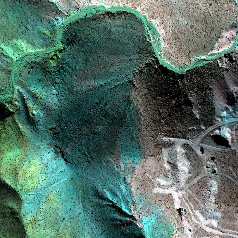
Classification of Vegetation Species
Hyperspectral imaging helps to identify the location and distribution of different tree species in the landscape, showing valuable information for the management of trees and forests. For example, hyperspectral imagery with innovative machine learning techniques can be used to classify dominant tree species in a mixed woodland environment.

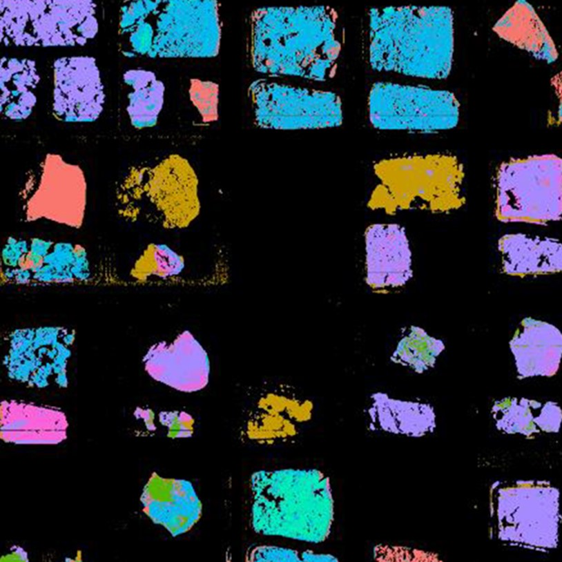
Final classification of the airborne imagery for Heathland 1 (left) and Heathland 2 (right)
Assessment of Tree Health/Disease
Airborne hyperspectral imagery is capable to assess ash dieback (Hymenoscyphus fraxineus) of individual ash trees in hedgerow environments. Individual tree crowns were identified from the hedgerow with an accuracy of 89%. Narrow-band vegetation indices calculated from hyperspectral imagery were applied to classify the presence of dieback with an overall accuracy of 87%.
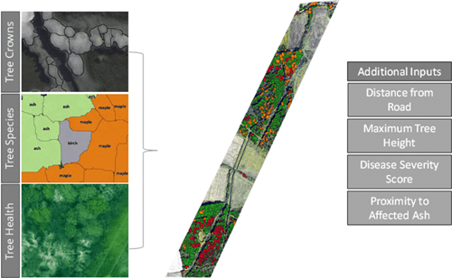
Example of ash dieback analysis along power lines using airborne hyperspectral imagery to locate individual trees, as well as the species, height, and health. All these can be combined to produce a final risk map
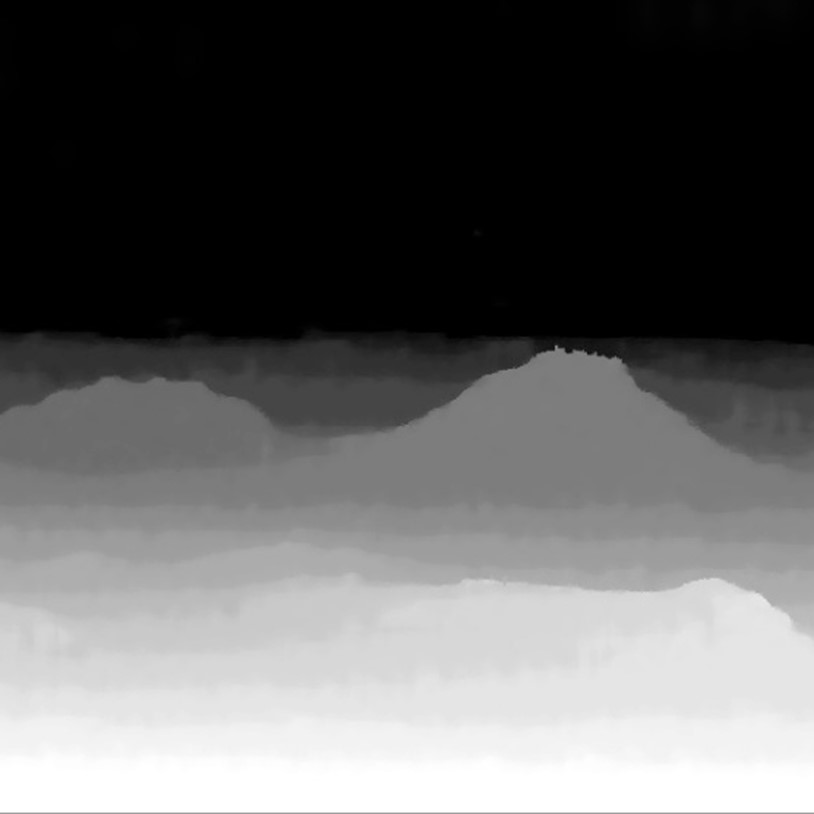
Tree Mapping
Advanced hyperspectral cameras facilitate data acquisition at high resolution, thus have the ability to identify individual tree crowns across large areas. Taking this significant advantage, specific indicators can be derived from the hyperspectral data at the individual tree crown scale for the management and monitoring of forest environments.

Tree map with tree heights from a section of The Lodge RSPB Reserve
In addition, high-quality hyperspectral imaging exhibits superior performance in quantification of canopy coverage, as well as identification of standing deadwood, land cover mapping of small areas (<5m features), e.g. hedgerows, and change detection. e.g. grazing pressure, tree windthrow.
Hyperspectral imaging technique is able to simultaneously visualize localization and biochemical information of forest. It thus provides a solid foundation to make data-driven decisions or tailor management strategies for the forestry sector. The capabilities of hyperspectral imaging can also be expanded to agriculture, landscape planning, and other agro-related applications.
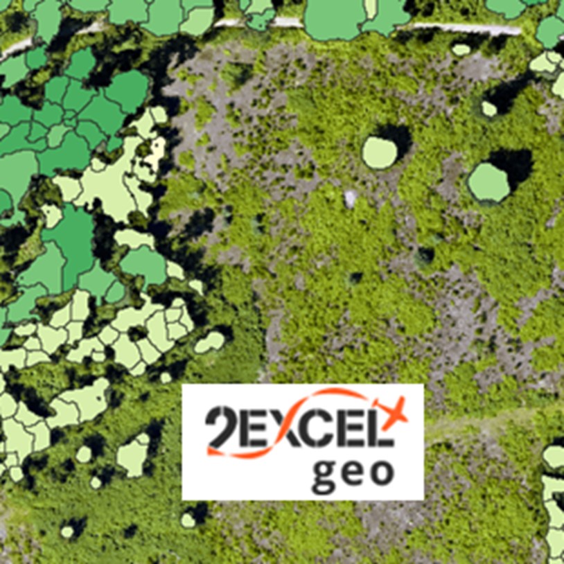
2Excel Geo
2Excel geo is a remote sensing company specializing in the forestry and environmental monitoring industries. Their HySpex airborne platform enables collection over large areas at high resolution. Together with their custom algorithms and domain experts, 2Excel geo extracts the information their customers need in the format the customers want.