Cuprite Benchmark Campaign

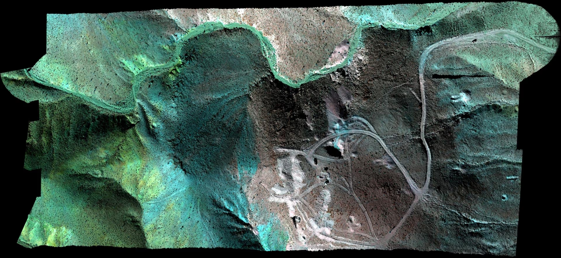
Together with Skycam Aviation, CA, USA and Echo Labs, BC, Canada, HySpex recently completed a data acquisition campaign from Cuprite Hills, Nevada, USA. Cuprite is known for its distinct geological features and has been subject to earlier spectral imaging campaigns, and can thus serve as a good benchmark site for detection capabilities and data quality.
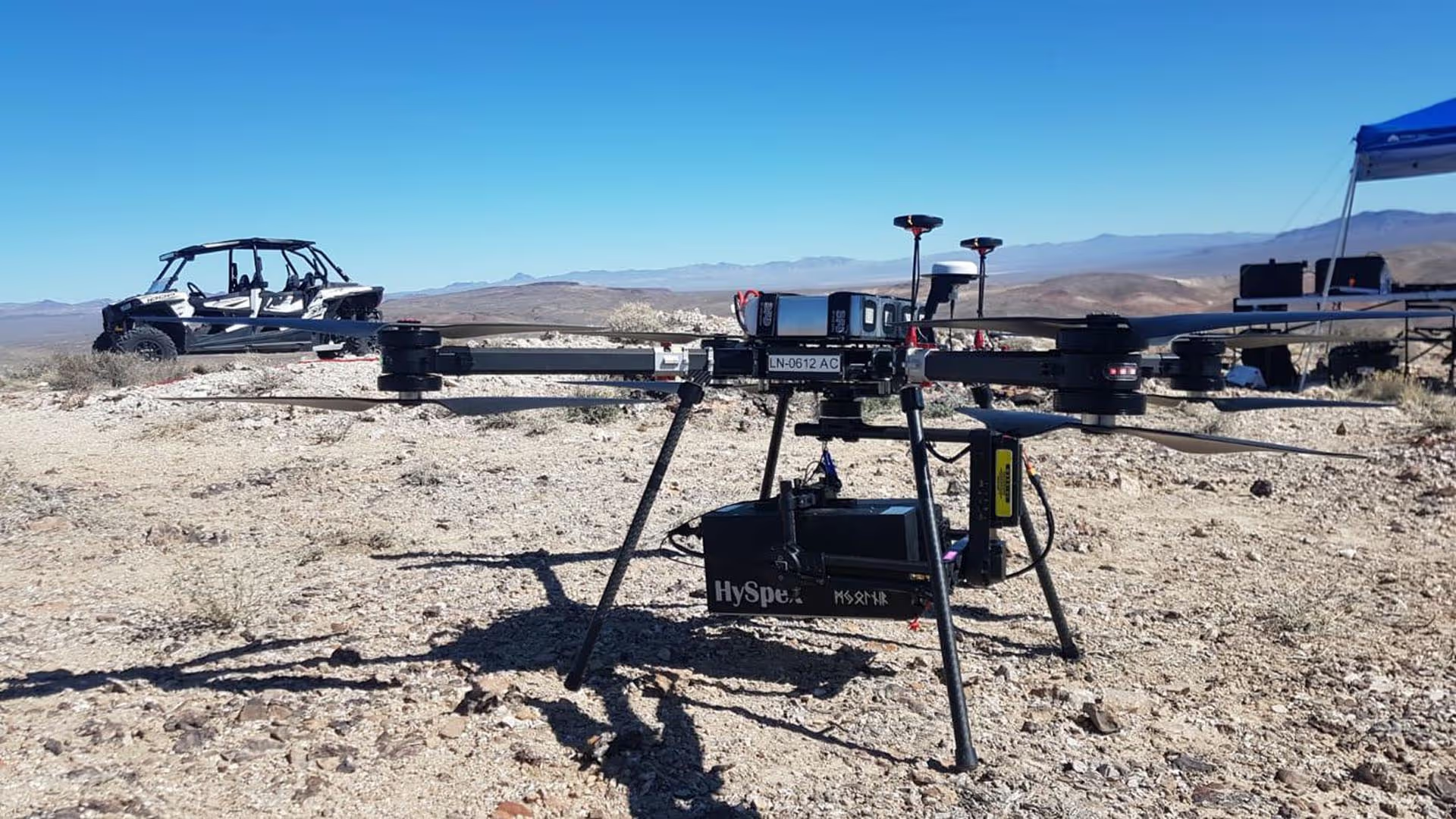
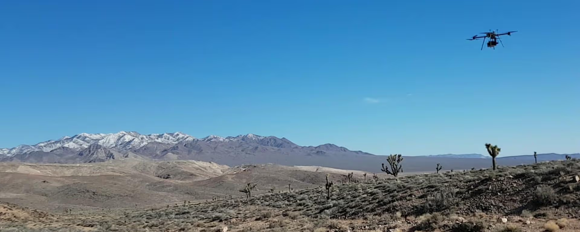
Echo Labs and HySpex operated HySpex VS-620 on a BFD Systems UAV from 120m AGL. At the same time, Skycam Aviation collected data using HySpex VNIR-1800 and SWIR-384 mounted in their aircraft at 2000m AGL.
The data collected is classified with the new HySpex’ real-time processing SW, and the results will be published on hyspex.com.
Contact us to access this data set and the other sample data available for free.