HySpex – the quality leading brand
Hyperspectral imaging activities at NEO started in 1995 with the HISS (Hyperspectral Imager for Small Satellites) project for ESA.
.avif)

R&D activities at HySpex have been funded internally through NEO and through high profile projects with the Ministry of Defense, the Norwegian Research Council, etc. The majority of R&D funding support from NEO has allowed HySpex to focus on building the highest quality instruments, without compromise.
Today, HySpex is established as a high quality brand for both airborne and ground-based hyperspectral imaging. HySpex sensors are renowned for their stability, flexibility, and superior data quality.
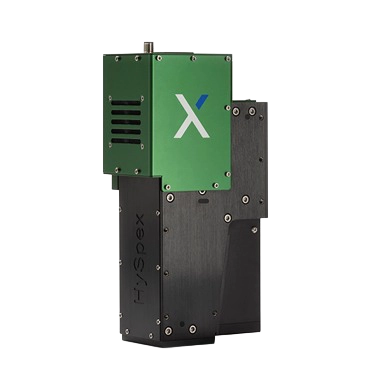
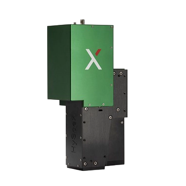
HySpex Classic
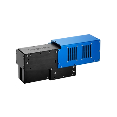
HySpex VNIR-1800
See Product
HySpex VNIR-3000 N
See Product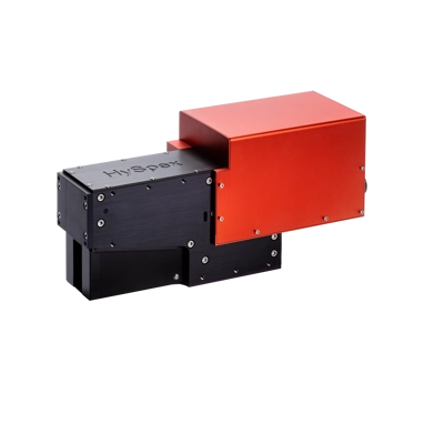
HySpex SWIR-384
See Product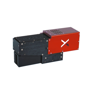
HySpex SWIR-640
See Product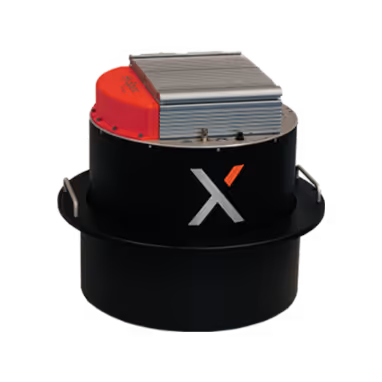
HySpex VS-1200
See ProductHySpex Mjolnir
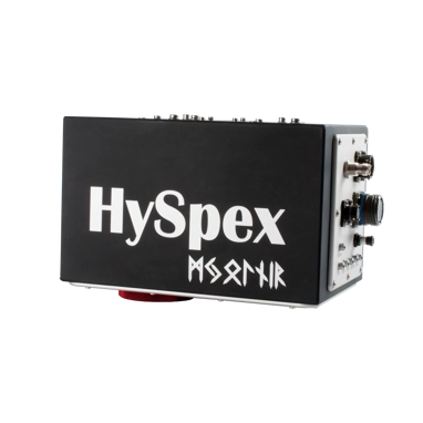
HySpex Mjolnir V-1240
See ProductHySpex Mjolnir S-620
See Product
HySpex Mjolnir VS-620
See Product