Solutions
Turnkey Solutions
Custom Solutions
Products
HySpex Classics
HySpex VNIR-1800
HySpex VNIR-3000 N
HySpex SWIR-384
HySpex SWIR-640
HySpex VS-1200
HySpex Mjolnir
HySpex Mjolnir V-1240
HySpex Mjolnir S-620
HySpex Mjolnir VS-620
HySpex Mjolnir OEM
HySpex Baldur
HySpex Baldur V-1024 N
HySpex Baldur S-640i N
HySpex Baldur S-384 N
HySpex Processing Software
Prediktera Software
HySpex Bifrost
ATCOR 4 – for Airborne Remote Sensing Systems
PARGE® Image Rectification
Comprehensive Product Overview
See All Products
Products
What is HSI?
What is HSI?
Key Quality Parameters
Resources
Use Cases & Application Notes
Sample Data
Buyer's Guide
HySpex Brochure
Webinars
About
About Us
News
Blog
Careers
Contact
Support
Contact
HySpex Processing Software
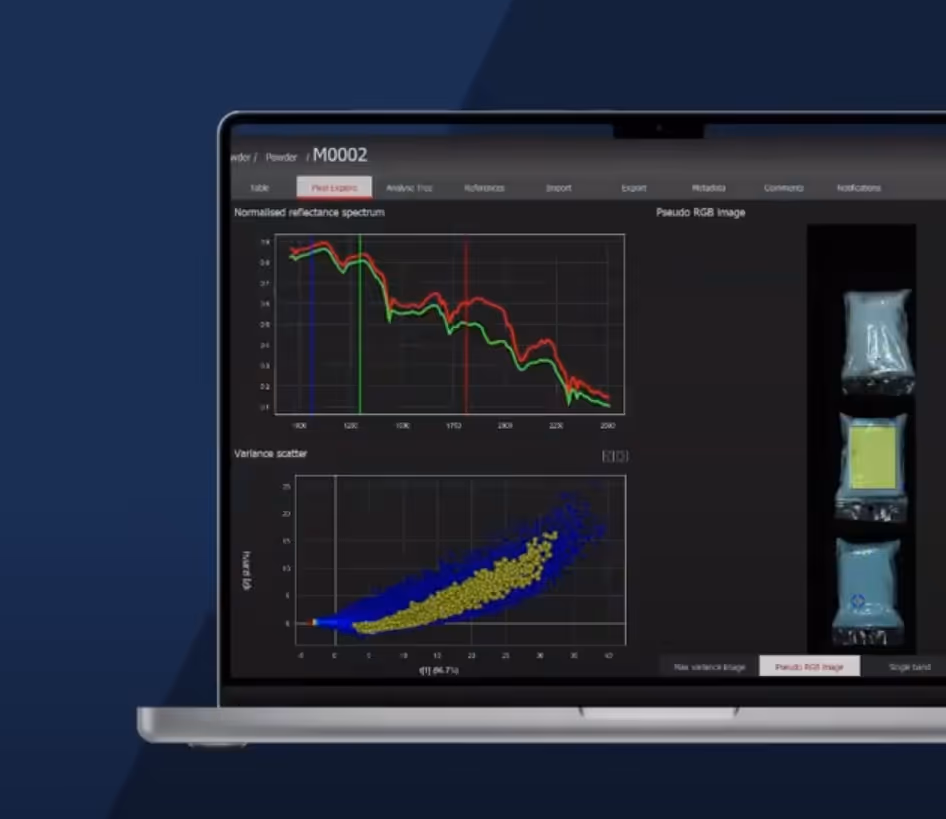
Following the acquisition, HySpex Processing software gives the users further functionality through software tailored for MANY different uses.
Request Information
Explore Products
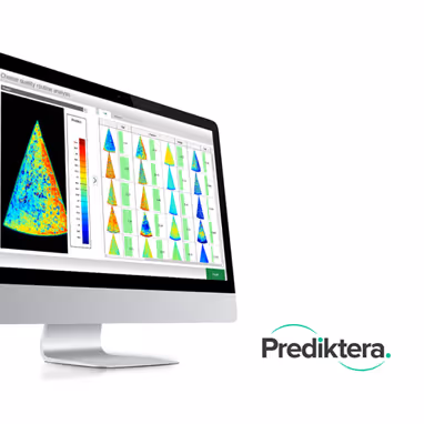
Prediktera Software
Read More
ATCOR 4 - for Airborne Remote Sensing Systems
Read More
PARGE® Image Rectification
Read More
HySpex Bifrost
Read More
Request Information or Quote →
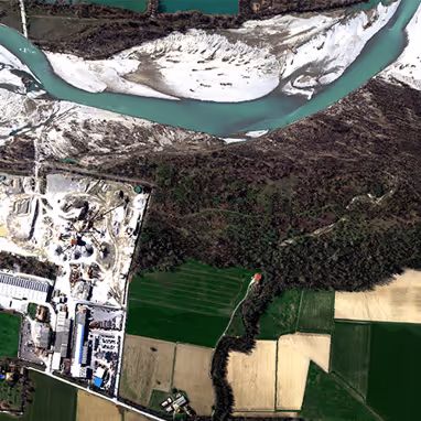
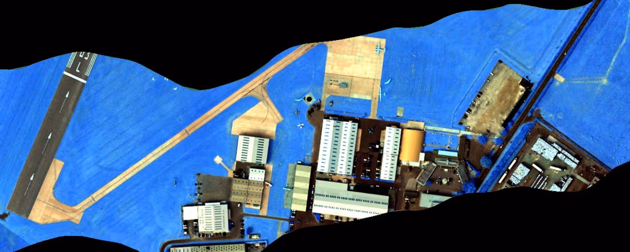
Sample Data
Read More
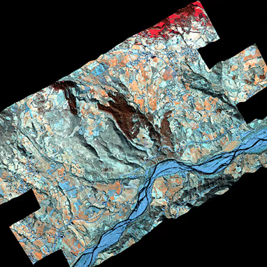
Data Quality
Read More